
At Remix, our mission is to help build more livable cities. We believe that by providing powerful software tools to planners, we can improve the safety, equity, sustainability, and efficiency of transportation in their communities.
The power of our platform comes from analyzing transportation data from multiple sources and creating intuitive user interfaces to surface meaningful insights. Put another way: connecting the dots in a way that helps planners make more informed decisions. For transit planning, this means ingesting performance and route data from transit agencies to help them optimize their bus networks. For managing new forms of mobility like bikes and scooters, this means ingesting and analyzing private mobility data from companies who provide it to the city — as a condition of the permit they receive to operate on the public right-of-way.
Over the past four years, we’ve learned from our 350+ city partners that they do need the option to augment in-house technology teams with cloud software. With tools like Remix, cities can manage mobility programs and make data-driven decisions for their communities — e.g. assessing the effectiveness of permit rules, improving transportation equity, identifying opportunities to improve safety on high-conflict corridors, and many more.
Some mobility data is sensitive, and cities must ensure that any technology company they work with that receives access to that sensitive information will be a good steward of it. Re-selling or improperly disclosing individual trip data would undermine public trust and individual privacy. From data breaches to deceptive business practices, large tech companies have shown how mishandling data can result in widespread abuse, and we believe that cities and their technology partners have a unique opportunity in the current moment to chart a more responsible course.
At Remix, we’ve done a great deal of thinking about reasonable limitations on the use of private mobility data that also ensures cities are adequately empowered to do their jobs. It needs to be a balance. Here’s how we articulate to our partners what we plan to do (and not do) with mobility data:

5. We enable cities to share benchmarks and learnings with one another. One of the delights of working with so many cities is watching them learn from each other’s experiences. We facilitate more of that through what we call “Community Insights” — compiling aggregated, de-identified data sets and allowing cities see how their transportation system is performing compared to peer cities. We allow cities to opt into sharing these aggregated mobility insights among peers.

6. We advance collaboration between cities and private mobility companies. We’ve already seen the beginnings of what happens when cities and mobility providers communicate well. If all parties can align on a common view of the data and implement consistent and transparent definitions and metrics, it enables collaboration on more informed policies. All of this will improve adoption of innovative new modes and improve transportation outcomes for city residents.
To put legal weight behind these intentions, contracts between cities and their technology partners should strongly limit secondary use of data, while still allowing for the tools cities need to effectively manage mobility services. For reference and transparency, we’ve published the following pieces:
We at Remix are strongly committed to helping cities use data to deliver better transportation services for their communities. We believe that cities can deliver on those outcomes, while also setting a high bar for data privacy and stewardship that the private sector can emulate.

Introducing On-demand Planning: The first planning product for on-demand and flexible fleets that is data-driven, integrated with the fixed-route network, and collaborative.

Meet New Remix, designed to be more intuitive, flexible, and more powerfully multimodal.
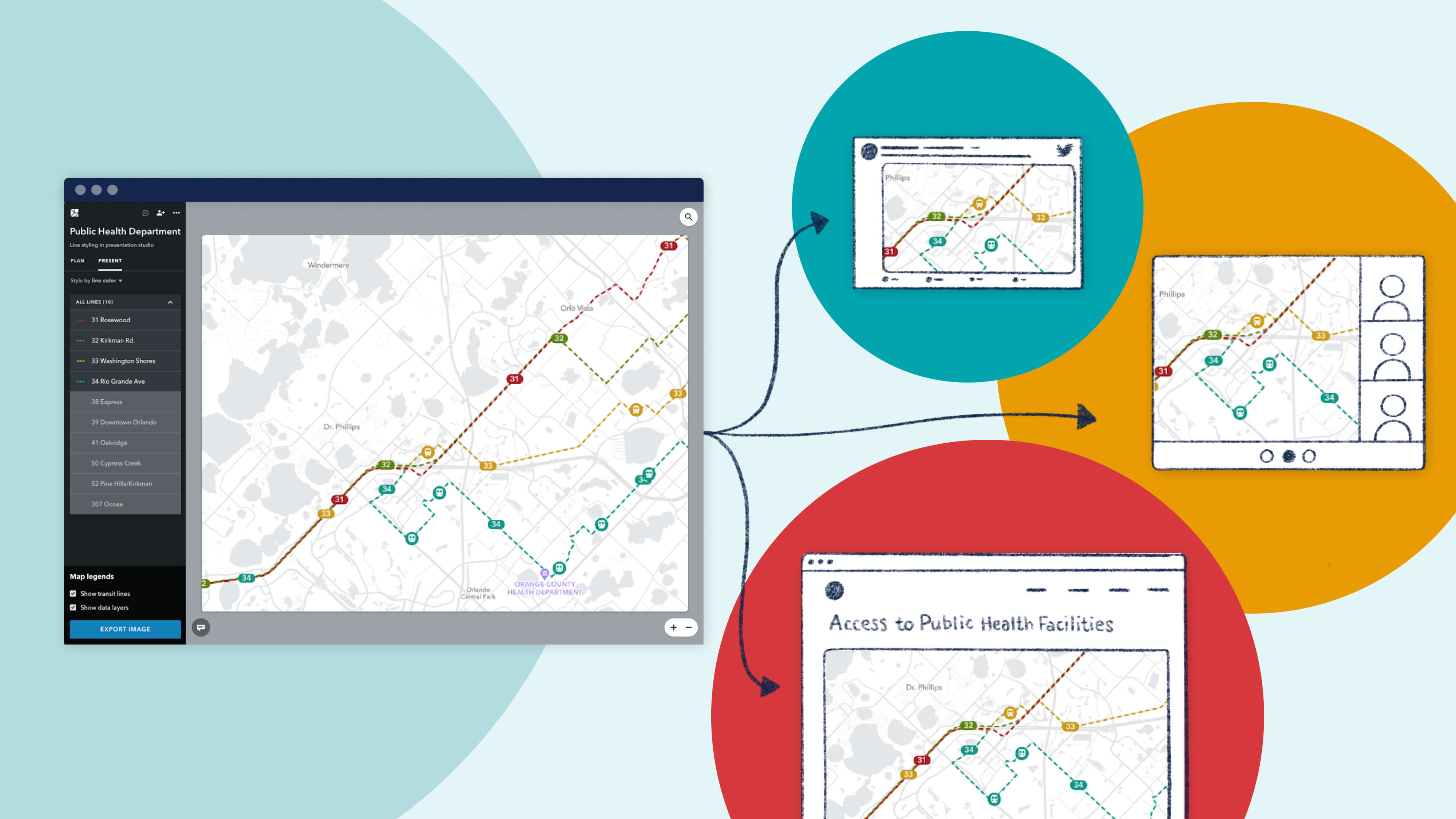
Since launching Presentation Studio, we’ve been delighted to see the creative ways in which our partner agencies are using the feature. We're proud to showcase their work with a "Map Gallery."

