To display transportation systems on our maps, Remix uses the most up-to-date, official GTFS feeds. All agencies that have made GTFS information publicly available are represented in our software.
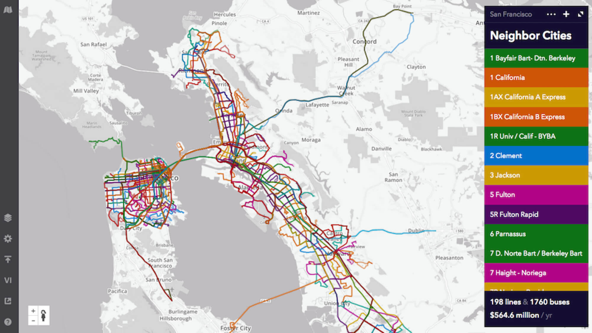
By loading in official GTFS feeds, Remix allows for true regional planning. Our customers can better coordinate with their neighbors: Remix is a common platform on which to work, alleviates the need to ask for up-to-date shapefiles, and allows an agency to plan routes with the full context and knowledge of an area.
This means you can take a look at how cities outside your region plan their systems: Create a new map in whatever city you’d like to check out, and load in its GTFS data as you would your own.
All those GTFS feeds make Jane much more powerful, too. For instance, load any combination of routes in the Bay Area — which include SFMTA, BART, and AC Transit and myriad other operators like SolTrans and Golden Gate Transit — and drop Jane on the map. You’ll see how she can travel across regional networks, much like a real rider.
For example, when looking at just SFMTA service, Jane can only get around San Francisco.

With BART service accounted for, Jane can access the whole region.

And by adding AC Transit’s routes, Jane’s accessibility skyrockets.

Many thanks to the agencies that provide GTFS data for enabling collaboration. Are you using Remix to show accessibility across multiple agencies? Let us know!

Introducing On-demand Planning: The first planning product for on-demand and flexible fleets that is data-driven, integrated with the fixed-route network, and collaborative.

Meet New Remix, designed to be more intuitive, flexible, and more powerfully multimodal.
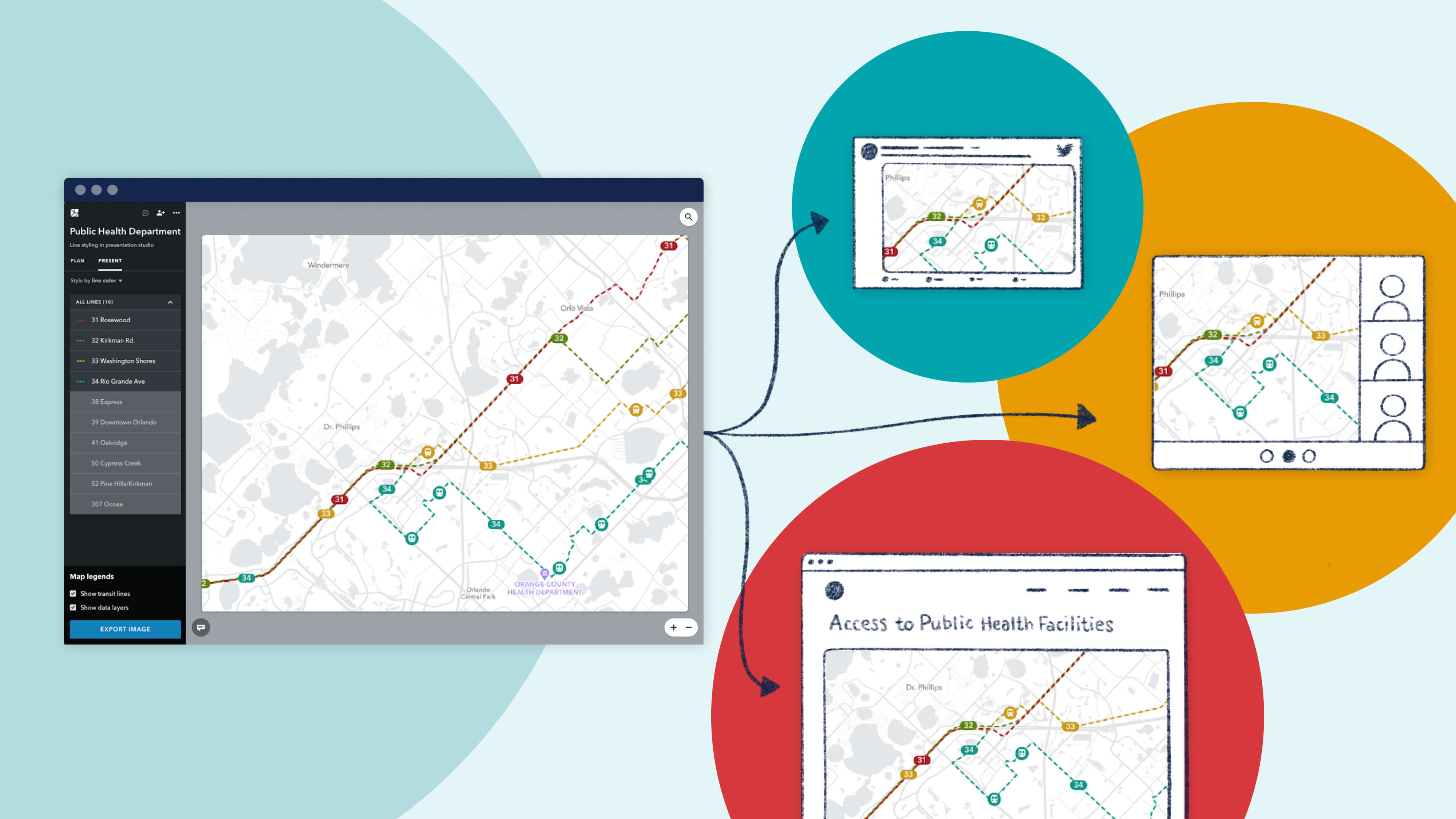
Since launching Presentation Studio, we’ve been delighted to see the creative ways in which our partner agencies are using the feature. We're proud to showcase their work with a "Map Gallery."

