
Isochrones are commonly used in transportation planning to represent areas of equal travel time. Ours is so friendly that we named her Jane — for Jane Jacobs, the heroic urbanist behind The Death and Life of Great American Cities. In the spirit of her eponym, our Jane makes it easier to visualize the accessibility provided by your transit network, a key factor for riders.
As you update headways and routes, Jane updates in parallel. While isochrone maps typically require numerous steps and data sets to create, Jane is instantaneous.
To use Jane, simply drag her onto a Remix map from her home in the bottom right corner. To see Jane’s visualization capabilities, try adjusting service at noon on a weekday. She’ll show you how far she can go right away.

Until recently, Jane only showed the transit and walking distance reachable within 30 minutes at noon on a weekday. Now, she shows the same for an hour, in 15-minute increments. Jarrett Walker + Associates has used Jane’s 60-minute range to illustrate different options for Portland’s Powell-Division transit and development project.
Think of as isochrones as “freedom blobs”: visual representations of how far passengers can go on a given route. Running more frequent service increases a rider’s freedom. Jane helps our customers readily see how a rider’s freedom is impacted.
For more information about Jane, watch our tutorial:

Introducing On-demand Planning: The first planning product for on-demand and flexible fleets that is data-driven, integrated with the fixed-route network, and collaborative.

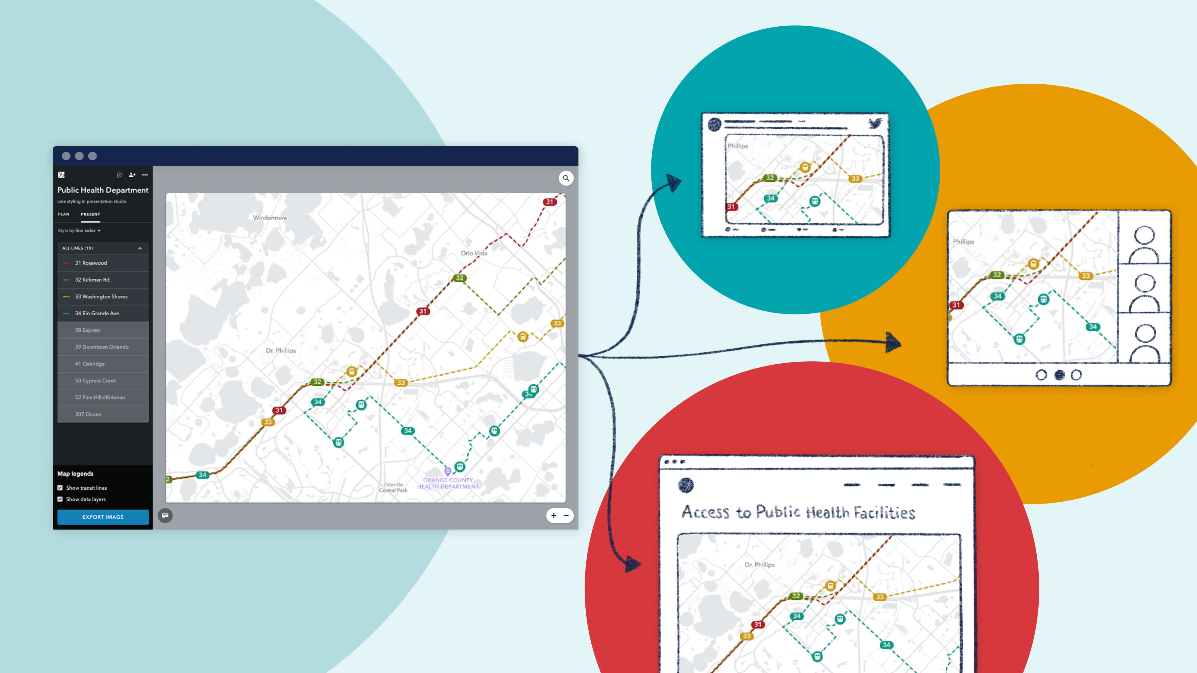
Meet New Remix, designed to be more intuitive, flexible, and more powerfully multimodal.
Since launching Presentation Studio, we’ve been delighted to see the creative ways in which our partner agencies are using the feature. We're proud to showcase their work with a "Map Gallery."

